Travel Guide of Wailuku in United States by Influencers and Travelers
Wailuku is a census-designated place in and county seat of Maui County, Hawaii, United States. The population was 15,313 at the 2010 census. Wailuku is located just west of Kahului, at the mouth of the Iao Valley.
Plan your trip in Wailuku with AI 🤖 🗺
Roadtrips.ai is a AI powered trip planner that you can use to generate a customized trip itinerary for any destination in United States in just one clickJust write your activities preferences, budget and number of days travelling and our artificial intelligence will do the rest for you
👉 Use the AI Trip Planner
The Best Things to Do and Visit around Wailuku
Disover the best Instagram Spots around Wailuku here
1 - Lahaina Pali Trailhead
Learn more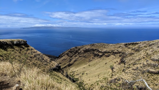

2 - Maui
The island of Maui is the second-largest of the islands of the state of Hawaii at 727.2 square miles and is the 17th largest island in the United States.
Learn more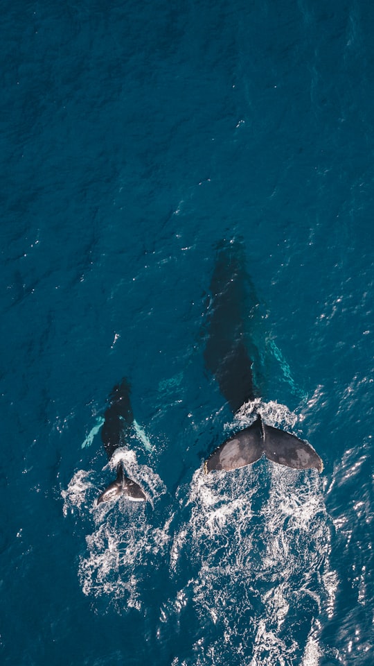
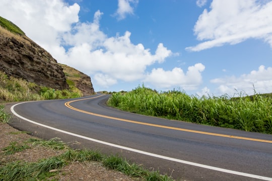
3 - Boat Tours in Oahu
Relax while you dine surrounded by sea and sky during this Maui sunset dinner cruise departing from Ma’alaea Harbor!There is nothing better than being served dinner ‘al fresco’, in the fresh air, with panoramic views of Maui’s coastline, the ...
Learn more
4 - Iao Valley
Iao Valley is a lush, stream-cut valley in West Maui, Hawaii, located 3.1 miles west of Wailuku. Because of its natural environment and history, it has become a tourist location. It was designated a National Natural Landmark in 1972.
Learn more Book this experience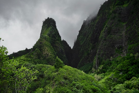
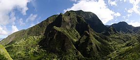
5 - West Maui Mountains
9 km away
The West Maui Mountains, West Maui Volcano, or Mauna Kahālāwai which means "holding house of water," is approximately 1.7 million years old and forms a much eroded shield volcano that constitutes the western quarter of Maui.
View on Google Maps Book this experience
6 - Snorkelling in Oahu
Snorkel and swim some of the most pristine waters of the Hawaiian Islands off the shore of Lanai during this half day boat tour from Maui!Just across the Maui Nui basin from Maui, the stunning cliffs of Lanai plunge dizzyingly into the ocean. Lanai i...
Learn more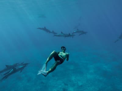
7 - Hawaiian Islands
10 km away
The Hawaiian Islands are an archipelago of eight major islands, several atolls, and numerous smaller islets in the North Pacific Ocean, extending some 1,500 miles from the island of Hawaiʻi in the south to northernmost Kure Atoll.
View on Google Maps Book this experience
8 - Iao Valley State Park
10 km away
Learn more

9 - Whale Watching in Maui
Calling all wildlife lovers- set out in search of the majestic humpback whale in the crystal-clear waters of the Pacific Ocean on this remarkable 2-hour tour, whale-watching in Maui from Maalaea! Welcoming explorers of all ages. Located in the centra...
Learn more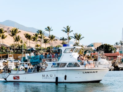
10 - Alexander & Baldwin Sugar Museum
16 km away
Alexander & Baldwin Sugar Museum is located in the small sugarcane growing and milling community of Puʻunene, Hawaii, Kahului, Maui.
View on Google Maps Book this experience
11 - Hookipa Beach
16 km away
Hoʻokipa is a beach on the north shore of Maui, Hawaii, United States, perhaps the most renowned windsurfing site in the world.
Learn more Book this experience

12 - Snorkeling | Kihei
10 km away
Paddle over the clear waters of Maui in a clear bottom kayak on this guided tour. Snorkel in the picturesque waters of Maui and see the marine life up close.
Learn more
13 - Kihei
21 km away
Kihei is a census-designated place in Maui County, Hawaii, United States. The population was 20,881 at the 2010 census.
Learn more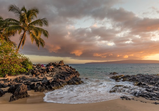
14 - Paia
21 km away
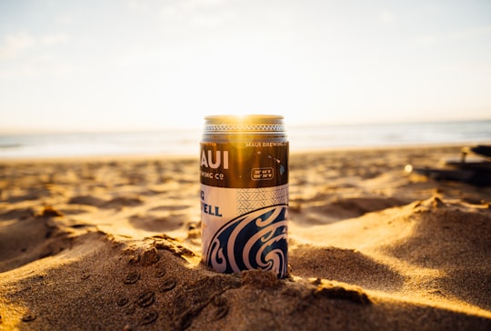
Pā'ia is a census-designated place in Maui County, Hawaii, United States, on the northern coast of the island of Maui. The population was 2,470 at the 2020 census.
Learn more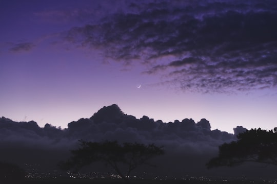
15 - Lahaina
21 km away
Lahaina is the largest census-designated place in West Maui, Maui County, Hawaii, United States and includes the Kaanapali and Kapalua beach resorts. As of the 2020 census, the CDP had a resident population of 12,702.
Learn more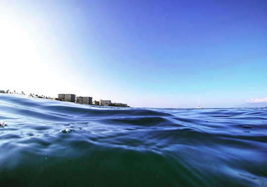
16 - Kula
22 km away
Kula is a district of Maui, Hawaii, that stretches across the "up-country", the western-facing slopes of Haleakalā, from Makawao to Kanaio. Most of the residential areas lie between about 500 to 1,100 m in elevation.
Learn more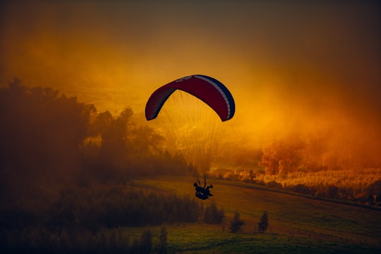
17 - Peahi
23 km away
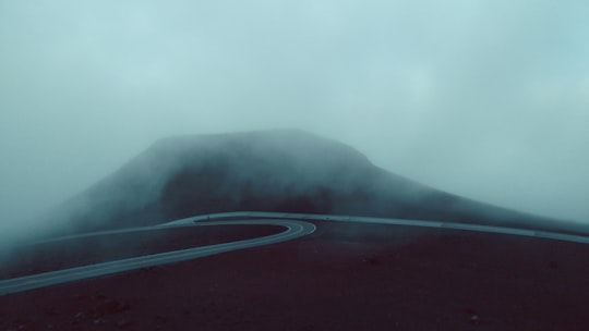
Peʻahi is a place on the north shore of the island of Maui in the U.S. state of Hawaii. It has lent its name to a big wave surfing break, also known as Jaws.
View on Google Maps Book this experience
18 - Wailea
23 km away
Wailea is a census-designated place in Maui County, Hawaii, United States. As of the 2010 census, it had a population of 5,938. Prior to 2010, the area was part of the Wailea-Makena census-designated place. The community was developed in 1971 by a partnership of Alexander & Baldwin and Northwestern Mutual.
View on Google Maps Book this experience
19 - Haiku
26 km away
Haiku is an unincorporated community in Maui County on the island of Maui in the state of Hawaii. For United States Census purposes, it is part of the Haiku-Pauwela census-designated place, which also includes Pauwela.
Learn more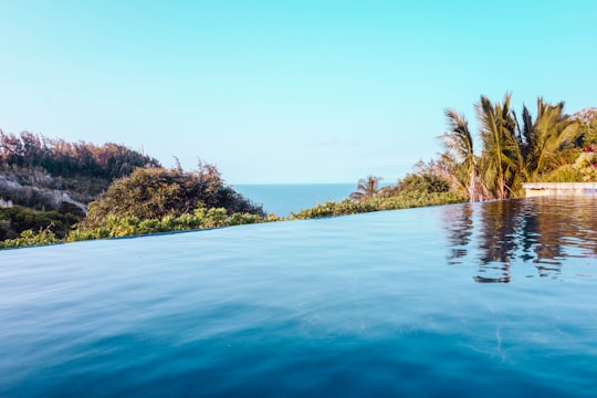
20 - Nakalele Blowhole
26 km away
Learn more

21 - Molokini
29 km away
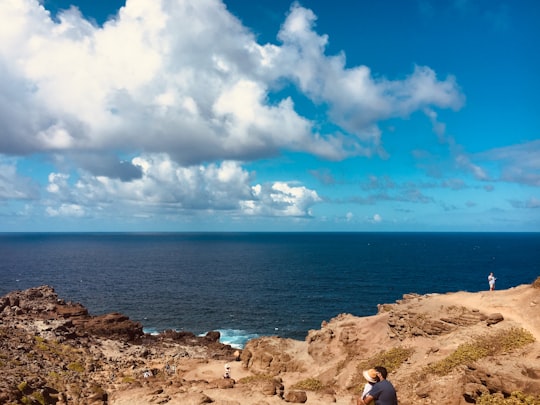
Molokini is a crescent-shaped, partially submerged volcanic crater which forms a small, uninhabited islet located in ʻAlalākeiki Channel between the islands of Maui and Kahoʻolawe, within Maui County in Hawaiʻi.
View on Google Maps Book this experience
22 - Hana Highway
29 km away
The Hana Highway is a 64.4-mile-long stretch of Hawaii Routes 36 and 360 which connects Kahului to the town of Hana in east Maui. To the east of Kalepa Bridge, the highway continues to Kipahulu as Hawaii Route 31.
Learn more Book this experience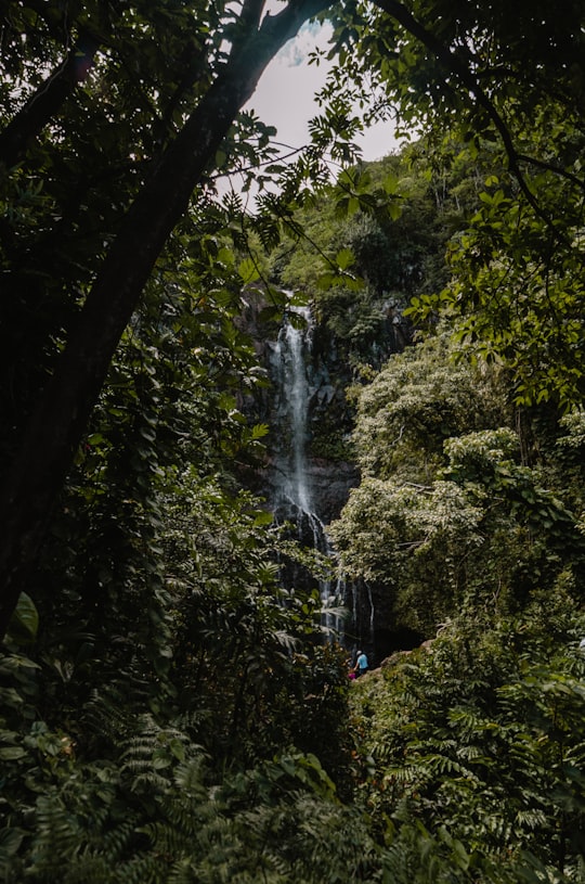

23 - Haleakalā
31 km away
Haleakalā, or the East Maui Volcano, is a massive shield volcano that forms more than 75% of the Hawaiian Island of Maui. The western 25% of the island is formed by another volcano, Mauna Kahalawai, also referred to as the West Maui Mountains.
Learn more Book this experience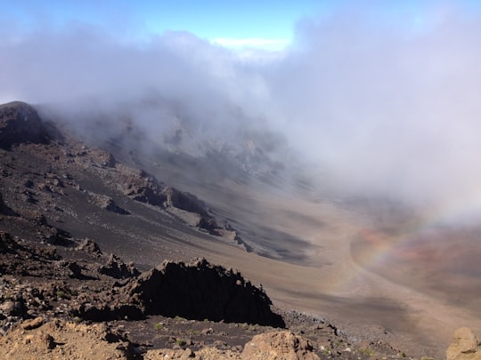
24 - Lanai
39 km away
Lanai is the sixth-largest of the Hawaiian Islands and the smallest publicly accessible inhabited island in the chain. It is colloquially known as the Pineapple Island because of its past as an island-wide pineapple plantation.
Learn more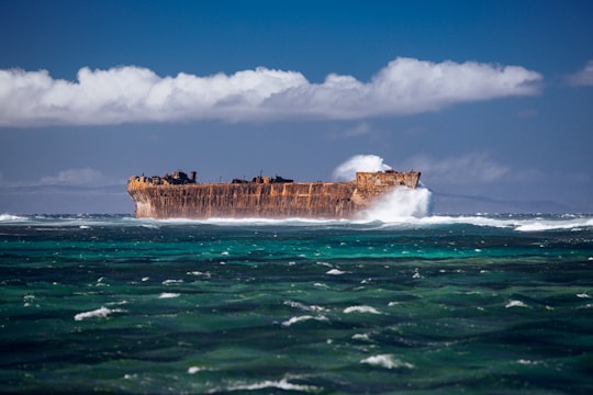
Book Tours and Activities in Wailuku
Discover the best tours and activities around Wailuku, United States and book your travel experience today with our booking partners
Where to Stay near Wailuku
Discover the best hotels around Wailuku, United States and book your stay today with our booking partner booking.com
More Travel spots to explore around Wailuku
Click on the pictures to learn more about the places and to get directions
Discover more travel spots to explore around Wailuku
⛰️ Hill spots ⛰️ Hill station spots 🏞️ Mountain river spots 🏖️ Shore spotsTravel map of Wailuku
Explore popular touristic places around Wailuku